Feral Pig Control
Community Engagement & Education via Pig Collaring & Mapping in the Barron River Catchment
Overview
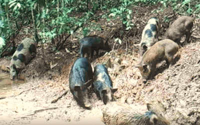
Feral pigs cause an incredible amount of damage to farm land, water-courses and the natural environment. On the Atherton Tablelands many farmers see feral pigs as a nuisance, not as a problem to be managed. However, with pig numbers on the rise in the Barron River Catchment area the crop losses and sediment run-off are increasing at an alarming rate.
Project activites
- Engage/build capacity of landholders, farmers, Landcare and other government agencies
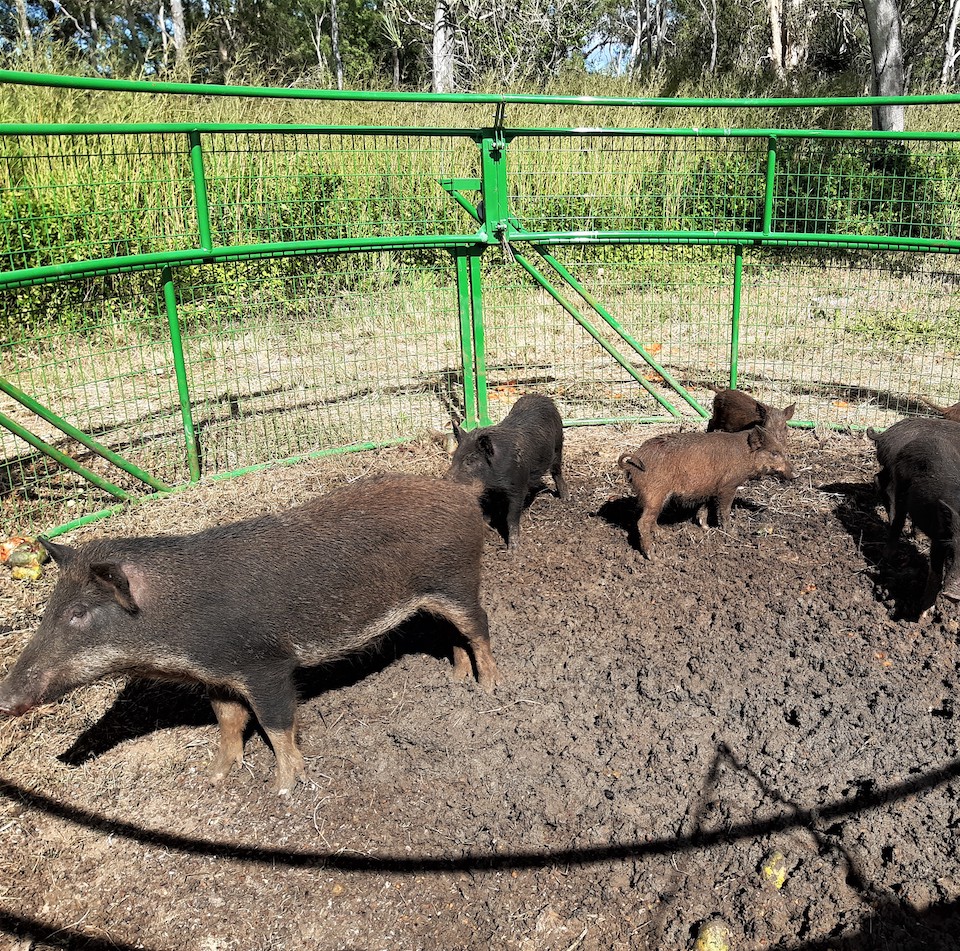
- Attach collars to as many pigs as possible in a 12-month period in the upper Barron River Catchment
- Use the data to map feral pig movements
- Promote the Feral Scan Pest Mapping App to map feral pig sightings and crop damage (https://www.pestsmart.org.au/feralscan/)
- Engage farmers to use harvester GPS and Drones to map crop damage
- Collect tonnage losses data from farmers to calculate losses
- Use the resulting maps and economic data to engage landholders to manage feral pig numbers
Coverage area
Malanda – Yungaburra
Project timeline
June 2020 to 30 November 2022
Funders
Australian Government, Department of Agriculture, Water and the Environment
Smart Farms Small Grants Round 3
RELATED POSTS
Feral Pig Costs & Controls
Over the last three years, Barron Catchment Care has gathered information on new and exciting technologies in the fight against Feral Pigs. Darren...
